Social Studies (Creative Citizenship) ????????️
Grade Level:
Grade 8 (Matthayom 2)
Instructor:
Mr. Kittithat
Charoenlertwong
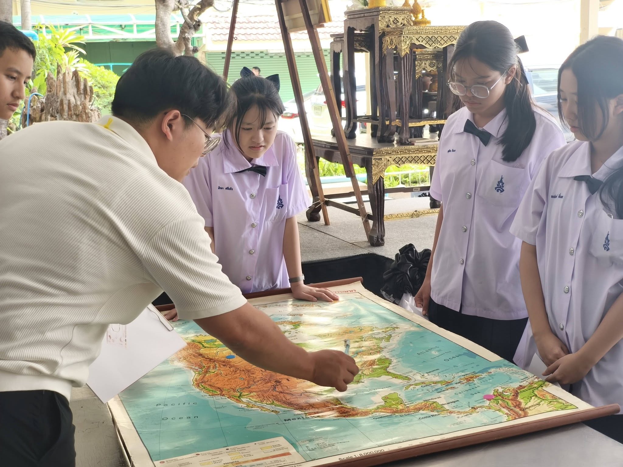
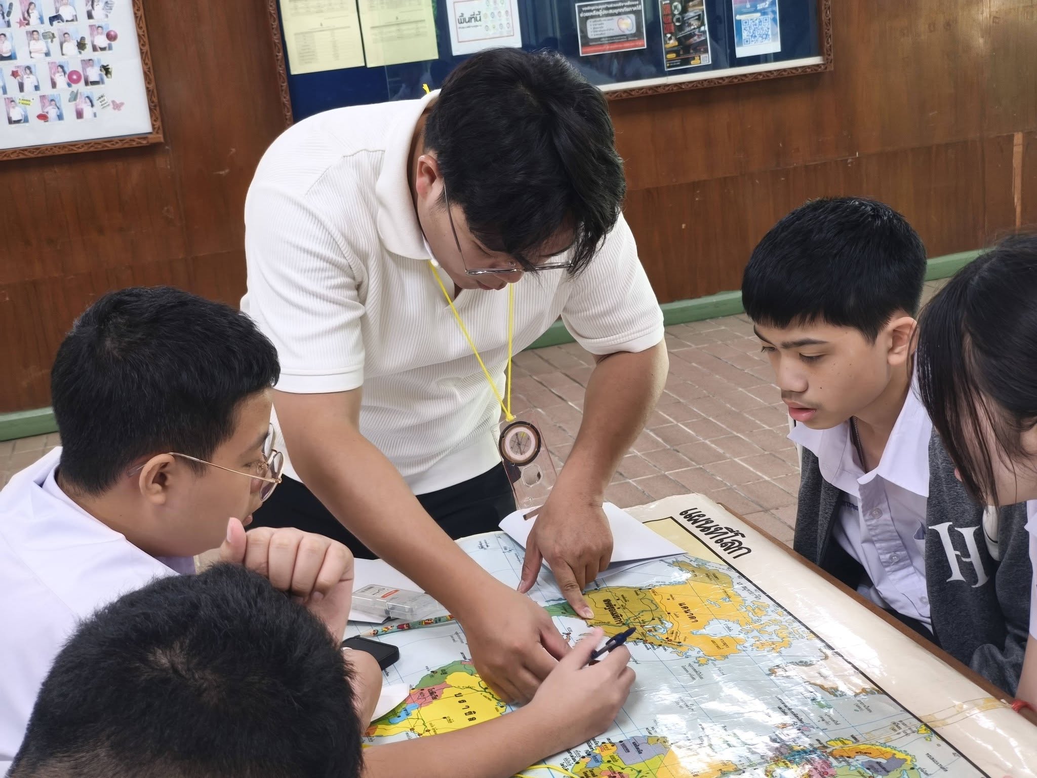
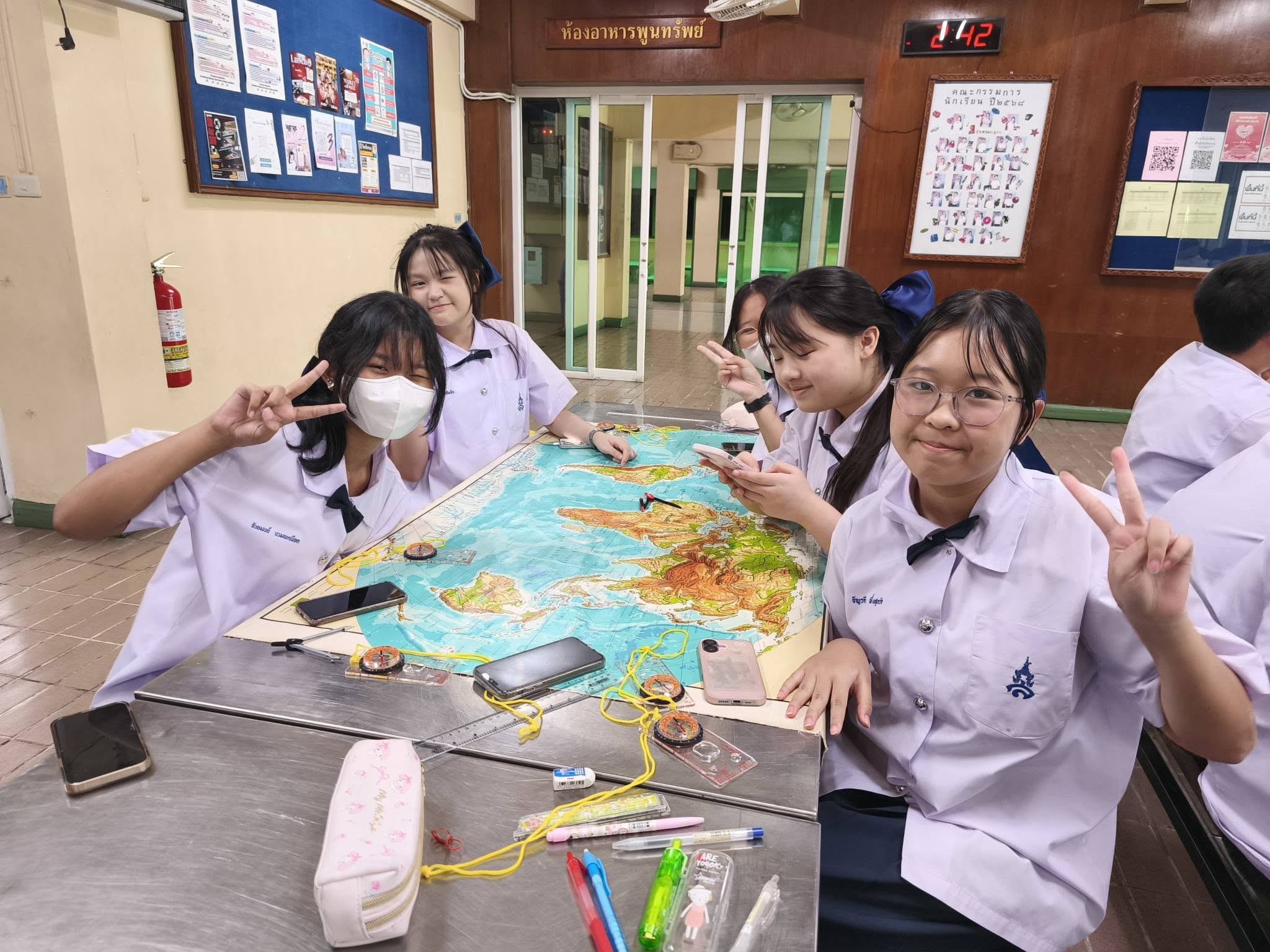
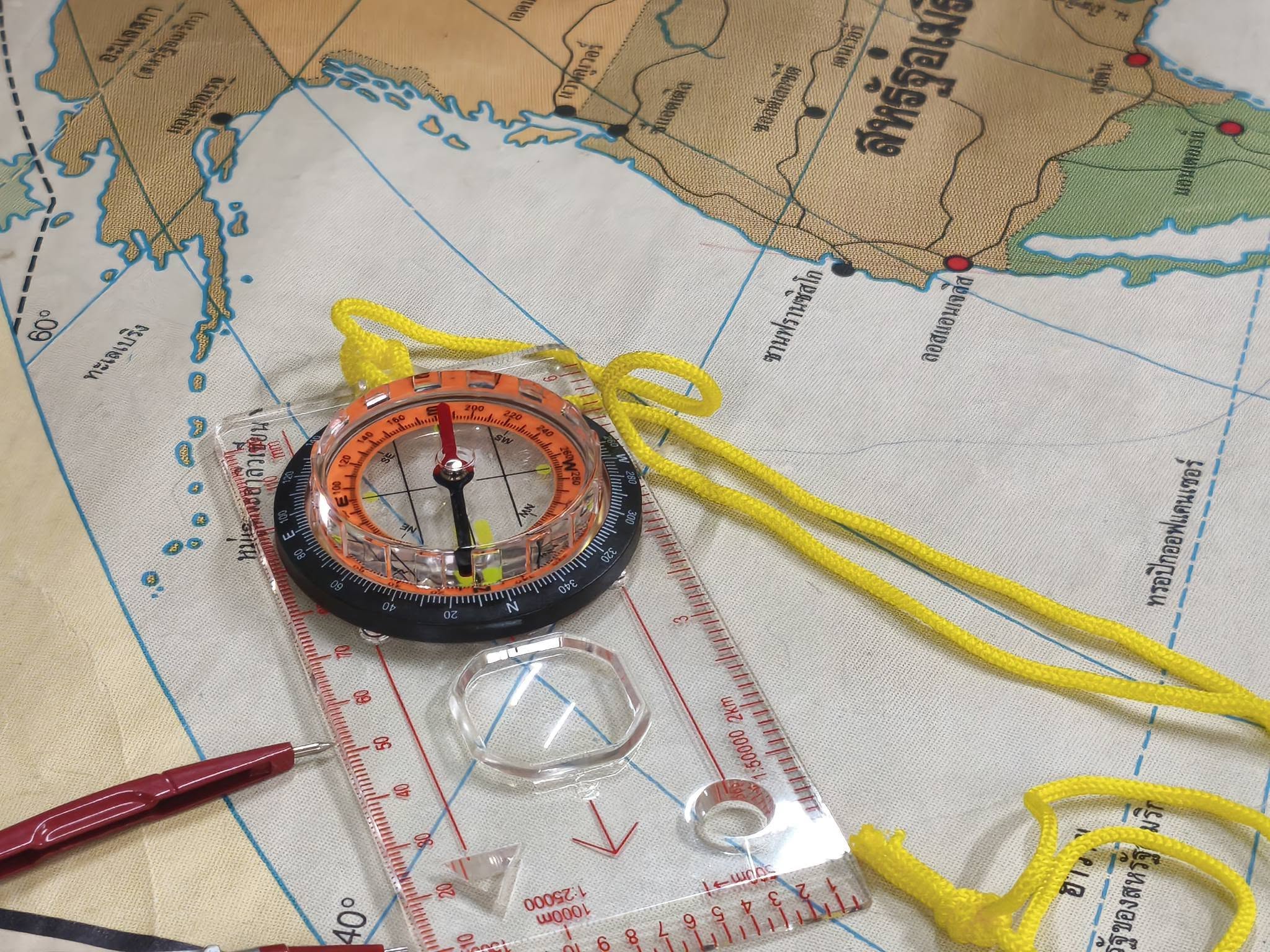
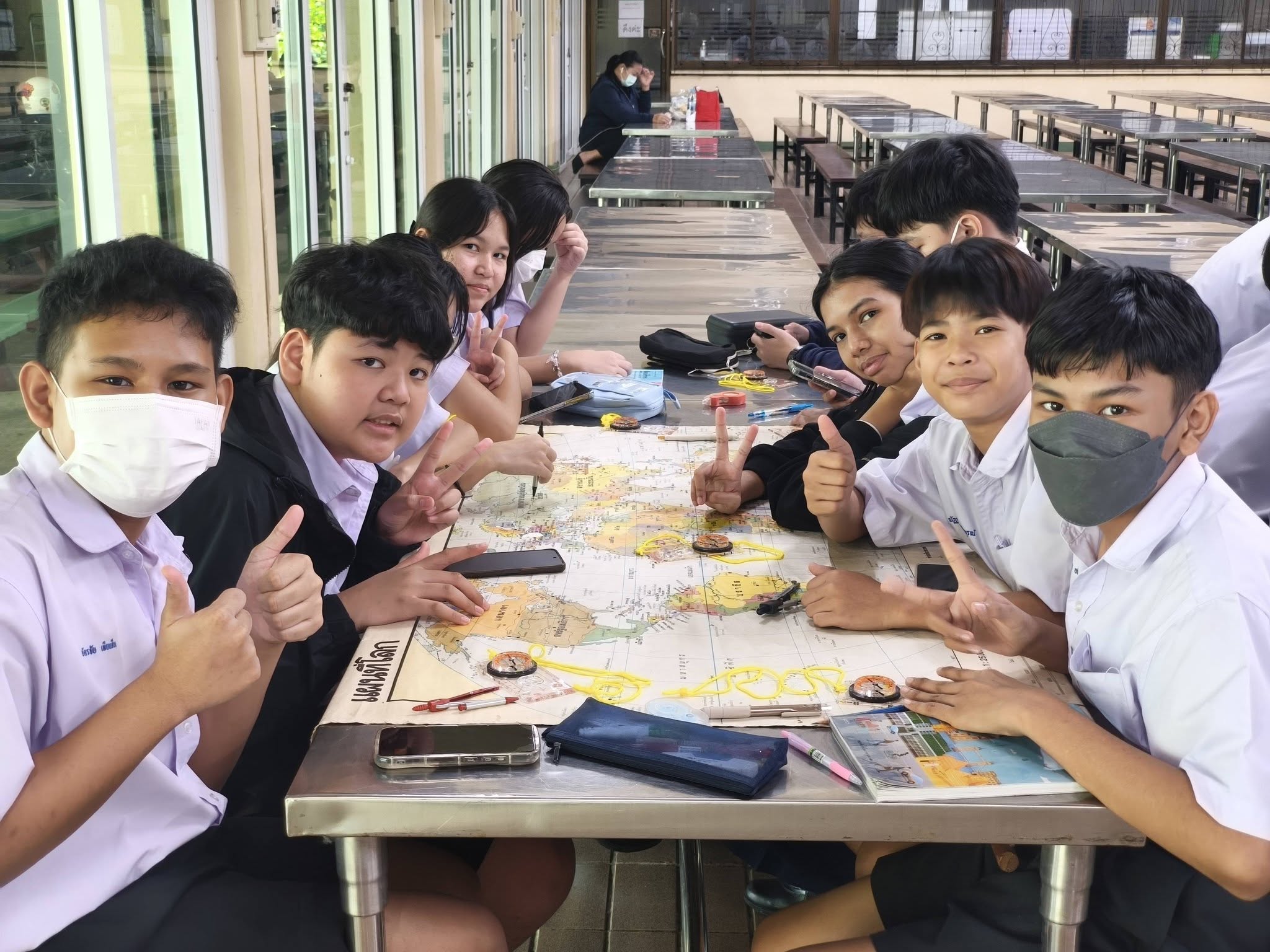
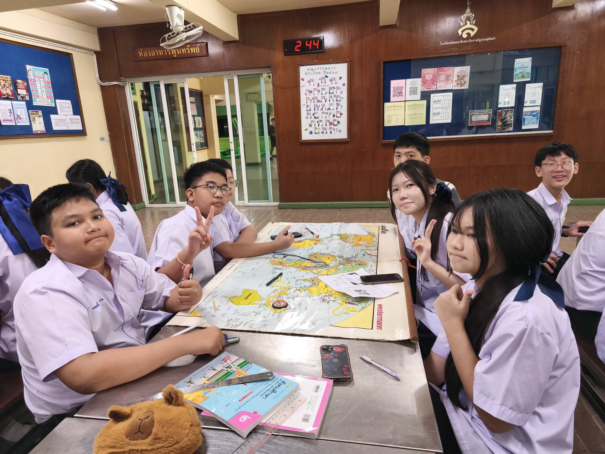
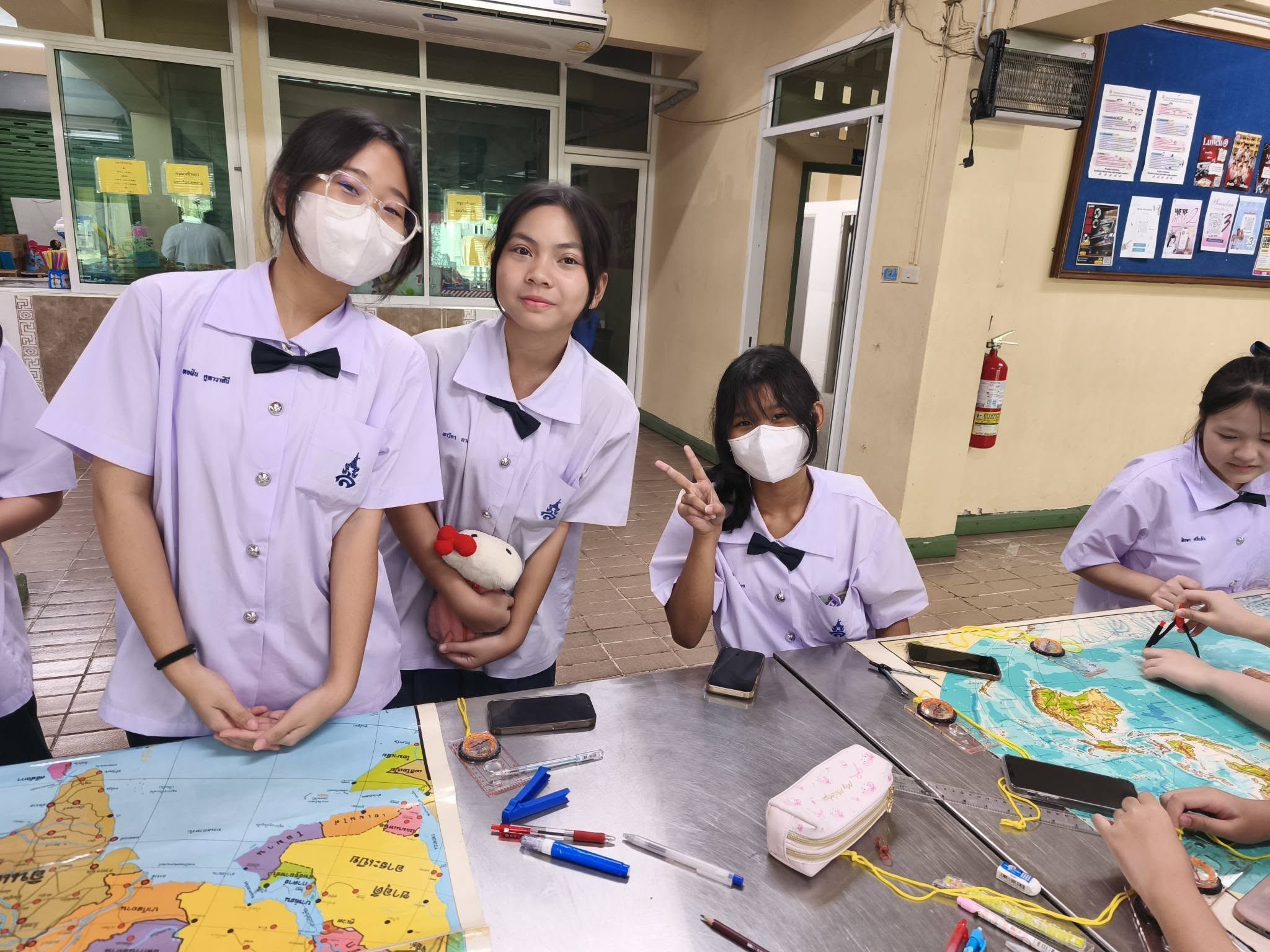
Students develop their analytical thinking skills through hands-on learning with Geographic Information Systems (GIS) and geospatial technologies. They learn how to read, interpret, and analyze maps, using geographic data to examine and understand the relationships between various factors and real-world social issues.
Through data analysis and spatial reasoning, students are encouraged to propose informed solutions to societal challenges while developing an awareness of their roles and responsibilities as creative global citizens.
This course equips students with essential critical thinking, problem-solving, digital literacy, and geographic inquiry skills, preparing them to navigate and contribute effectively to an increasingly interconnected world.
 |  |  |
 |  |  |
 |  |  |